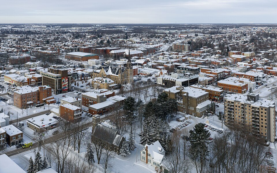
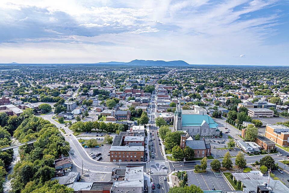
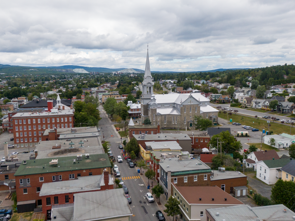
Thetford Mines, Quebec
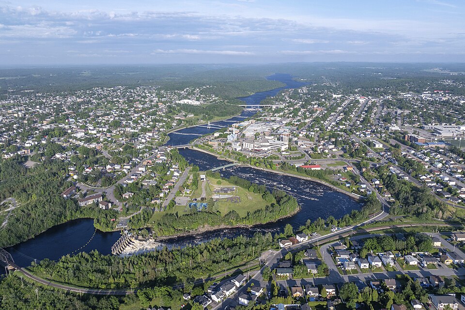
Wikimedia Commons via Wikipedia

Quebec · Civic arena

Thetford Mines

Thetford Mines drinking water hardness is 178 mg/L on OpenStats, plus City Score rankings and local readings.

Civic arena · hometown HUD

Thetford Mines

Census_agglomeration28k pop
50XP
#177

#177 of 343

50% City Score XP

Rising
City Score XP

5/8 pillars on the board

50%#177

Decade trail

Thetford Mines packs 5 of eight open-data pillars into its composite standing. Tap a rival below to see how the hometown stacks up head-to-head.

Thetford Mines drinking water

Regional estimate from nearest municipal sample

Hardness, pH, and lead from municipal reports on the OpenStats water atlas. This page uses a regional estimate — open the water atlas for method notes.

Hardness
178 mg/L
hard
pH
7.1
Lead
0.2 μg/L

Full Thetford Mines water quality report →City Score rankingsCompare cities · vs Sainte-Agathe-des-Monts · vs Saint-HyacintheHardness guide

Watershed to tap · system map

How Thetford Mines's water works

Source, treatment, and distribution for Thetford Mines from municipal and provincial water records. Open the animated map for the full watershed-to-tap diagram — no nested topic navigation here.

Local numbers for Thetford Mines

Permits, tax, internet, radon, hazards, drinking water, and sports rankings where a CHL hometown applies.

How Thetford Mines scores

Rising+48

Thetford Mines sits at City Score rank #177 with a standing of 50%, from 5 of 8 open-data pillars (tax, construction, connectivity, indoor air, water, seismic hazard, growth, safety). Missing pillars score at median standing so thin coverage cannot inflate the rank. Rising 48 places versus 2022 (#225 → #177).

Latest owned placements: indoor radon rank #122 of 327 at 111 Bq/m³ survey mean. Full tables and method notes live on each study edition; atlas readings for the same slug open from the topic buttons.

Among Canadian cities on the hub, Thetford Mines carries a City Score standing of 50% (rank #177 of 343) with 5 of 8 pillars observed. That sits 3 points above the Quebec peer average across 34 ranked cities. Within Quebec, Thetford Mines ranks #12 of 34 on City Score.

The strongest signal in the current chart is broadband download (ISED seed tier) (standing 80%, rank #69 of 343, raw score 1000). The weakest observed pillar is seismic hazard (standing 25%, rank #87 of 343).

Drinking-water hardness on the water atlas reads 178 mg/L as CaCO₃ for Thetford Mines. Compare that figure to the hardness pillar on the chart and to the national hardness guide on the hub.
#177
Arena rank (of 343)
50%
City Score
5
Pillars observed
Rising+48
vs 2022
#225 → #177

Arena loadout

Topic XP bars

Arena rank #177 of 343

City Score

5/8 pillars · main XP bar

50%#177
Drinking water

Pillar avg · hardness #152

59%
Building permits

No placement

—
Internet

Rank #69

80%
Radon

Rank #122

37%
Hazards

Rank #87

25%
Property tax

No placement

—

Thetford Mines pillar standing

Eight equal-weight City Score pillars, 2025 panel year.

TaxPermitsNetRadonWaterHazardsGrowthCrime

Source: OpenStats composite / study editions

City Score standing trend

Standing percentage by panel year (higher is better).

Years: 2016, 2017, 2018, 2019, 2020, 2021, 2022, 2023, 2024, 2025

Source: OpenStats composite timeseries

Achievements

Rising +48

Hometown notes

City profile

Older hometown notes stay on the desk archive (noindex) — this section shows recent highlights only.

Thetford Mines in brief

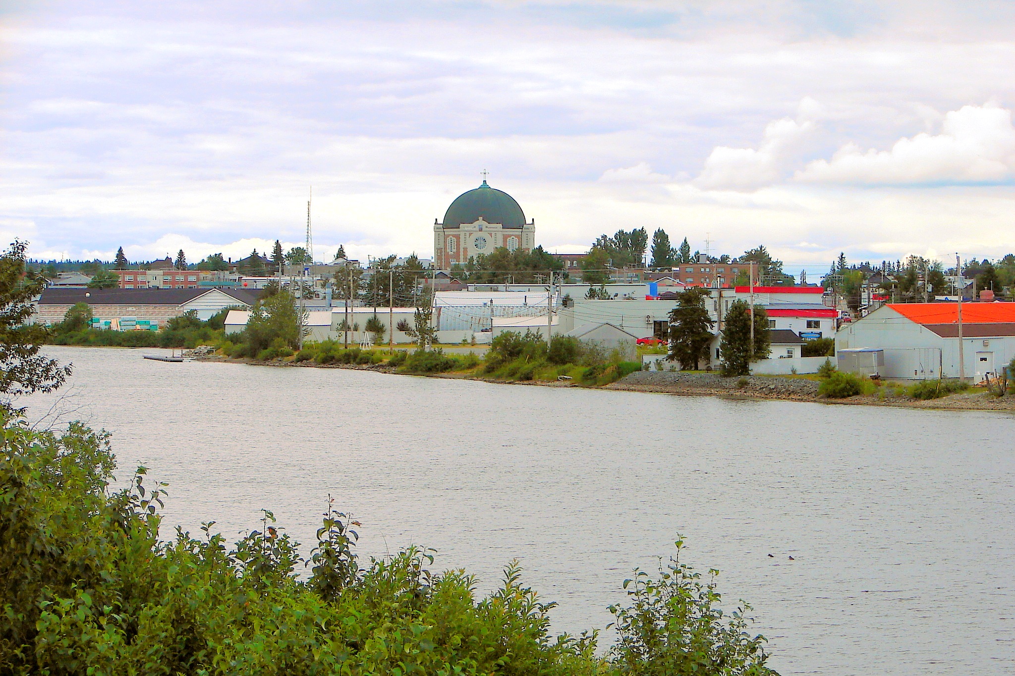
Thetford Mines brands itself Stimulante on Ville de Thetford pages, and the short form Thetford shows up as easily as the full legal name. Boulevard Frontenac is the corridor people use to orient errands, while Black Lake remains a sector name that survives in directions long after amalgamation maps went quiet. Flintkote stays in the local landmark inventory as industrial-heritage geography, not as a random English leftover on a forgotten sign.

Mining memory has proper doors. Musée Minéro and the Centre historique de la mine King | KB3 operate as a paired visit: museum for the wider story, King site for the buildings and miner narrative that still define the region. Visitors book both; residents treat the pair as the answer when cousins ask what happened here and where to start walking. The past is interpreted with tickets and guides, not whispered as closed-pit folklore.

Recreation writes the present tense. Parc du Sommet sells mountain-bike days on the municipal map, which is how a former mining city talks about lungs and weekends now. Frontenac errands in the morning and Sommet climbs after work can share one calendar without contradiction. Ville notices and avis pages still remind residents that municipal business and heritage tourism share the same small-city calendar. The OpenStats City Score puts Thetford Mines at rank 55 of 343 in 2026. The hometown combination is blunt and cheerful: Stimulante branding, Frontenac traffic, Black Lake directions, Minéro and KB3 for the underground story, and Sommet dust of a different kind.

Drawn from Ville de Thetford, Musée Minéro, Ville de Thetford Mines.

City Score over time

City Score from 2016–2025 across eight open-data pillars. Individual study placements are listed in the panels below.

0%25%50%75%100%2016201720182019202020212022202320242025
OpenStats City Score

Rankings for Thetford Mines

Each study below is its own ranking. Where a study has more than one edition for this city, the chart shows standing across those years only.

Safety · OpenStats

Crime severity not placed

Statistics Canada does not publish a police-service Crime Severity Index that OpenStats can match to Thetford Mines without copying a province, CMA, or another city. The safety pillar scores at median standing (50%) on City Score, the same rule used for other missing pillars.

Connectivity · OpenStats

OpenStats Broadband Download Speeds

OpenStats

Cities ranked by household-weighted maximum advertised download (Mbps) from ISED National Broadband Data hex ISP rows, with hex-to-city assignment by population-weighted gravity. The headline 2025 score is the dwelling-weighted mean of per-hex technology ceilings (fibre and cable at 1 Gbps, DSL lower). Household-weighted 50/10 availability (%) is stored on atlas rows as avail_5010_pct. Earlier panel years backcast along a national speed curve with city-specific fiber and availability paths.

10 editions · 2016–2025

#69
Latest · 2025 · of 343
Score 1000

Composite · OpenStats

OpenStats City Score

OpenStats

Dimensional average of OpenStats open-data pillars for each panel year 2016-2025: tax, construction, connectivity, indoor air, water, seismic hazard, population growth, and crime severity. Each series is scored 0-1 within its edition; series in the same pillar are averaged, then all eight pillars are averaged with equal weight. Missing pillars score at median standing (0.5). Crime severity uses StatCan police-service CSI only (Tables 35-10-0026-01 and 35-10-0063-01); cities without a police-service match take median standing on the safety pillar. Growth uses StatCan CSD estimates; construction uses verified municipal building-permit value per resident (population field on each city record, 2021 Census vintage); mill rates and broadband use live rows plus documented year-varying estimates where needed. Radon, water, and PGA may be survey/model vintages carried forward and are flagged when static for more than two years. External commercial livability lists are never inputs.

10 editions · 2016–2025

#177
Latest · 2025 · of 343
Score 0.496

Water · OpenStats

OpenStats Drinking Water Hardness

OpenStats

Communities ranked by municipal drinking-water hardness (mg/L as CaCO₃). Hardness changes slowly; the atlas vintage is carried across panel years and flagged when static for more than two years.

10 editions · 2016–2025

#152
Latest · 2025 · of 343
Score 178

Health · OpenStats

OpenStats Highest Indoor Radon

OpenStats

Communities ranked by Health Canada survey mean indoor radon (Bq/m³). Rank 1 is the highest mean. Decade panel years without a new survey carry the CMA survey vintage forward; they are not annual retests.

10 editions · 2016–2025

#122
Latest · 2025 · of 327
Score 110.9

Growth · OpenStats

OpenStats Population Growth

OpenStats

Cities ranked by year-over-year population growth from Statistics Canada annual CSD estimates (Table 17-10-0155-01). Rank 1 is fastest growth. A few places without a clean CSD match use a provincial-path estimate anchored to seed population.

10 editions · 2016–2025

#191
Latest · 2025 · of 343
Score 0.009442028177391175

Hazards · OpenStats

OpenStats Seismic Hazard (PGA)

OpenStats

Communities ranked by NRCan peak ground acceleration (higher = stronger shaking hazard). Rank 1 is highest PGA. The seismic model is multi-year; values are carried across the City Score panel and flagged as static until NRCan publishes a new generation.

10 editions · 2016–2025

#87
Latest · 2025 · of 343
Score 0.094

Worth knowing in Thetford Mines

Distinctive local notes and places, each linked to its source.

  • Ville de Thetford uses Stimulante as its standing brand adjective on the municipal home.

    Ville de Thetford

  • Musée Minéro pairs with Centre historique de la mine King | KB3 as one heritage visit.

    Musée Minéro

  • Black Lake remains a sector name people still use for directions inside the city.

    Ville de Thetford

  • Parc du Sommet is the municipal mountain-bike pitch for present-day recreation.

    Ville de Thetford

Places to see

Musée Minéro

The museum half of Thetford's mining story, booked alongside King | KB3. It is where the geology and labour narrative get a ticketed door.

Parc du Sommet

Mountain-bike park that updates the city's weekend identity. Thetford's present tense includes climbs, not only shafts.

Follow Thetford Mines by email

When Thetford Mines moves in a ranking, posts new permit figures, or lands in a study, get a short note. A few sends a year, only when something changes.

No spam. Unsubscribe with one reply.

Related guides

More places in Quebec

All Quebec cities